News
2024
(3/07)The #FireSage SJSU-NASA joint Summer Internship is now open for applications [link]

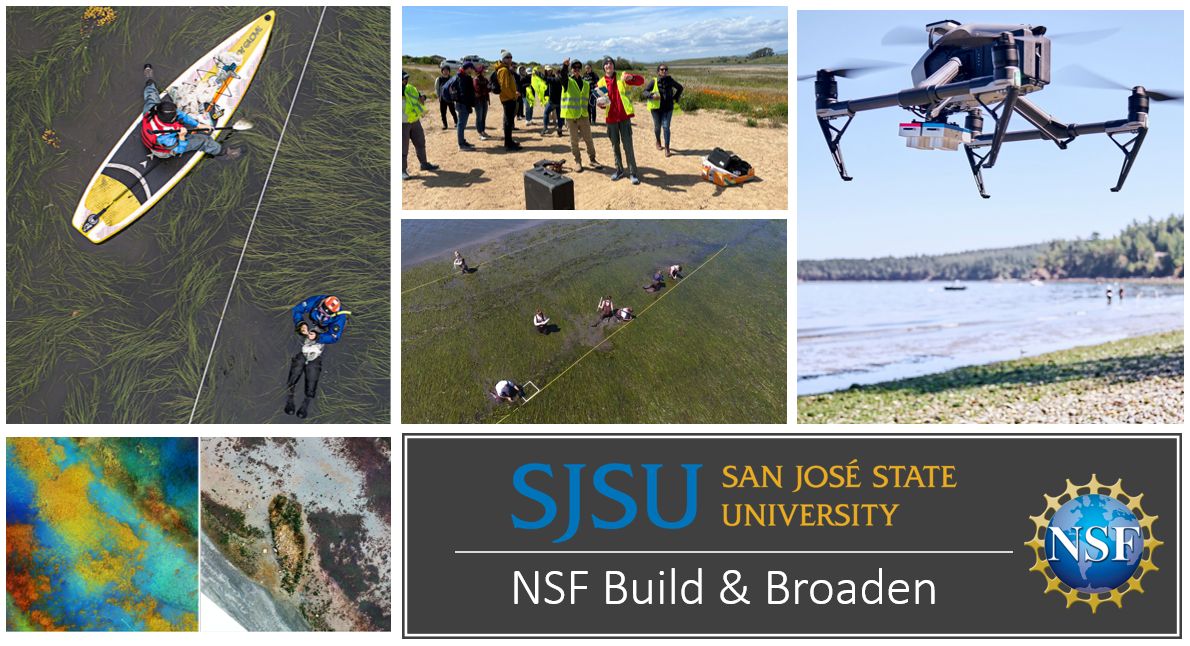
(2/20)NSF Build and Broaden 2024 Summer Coastal Drone Fieldwork Application. [link]
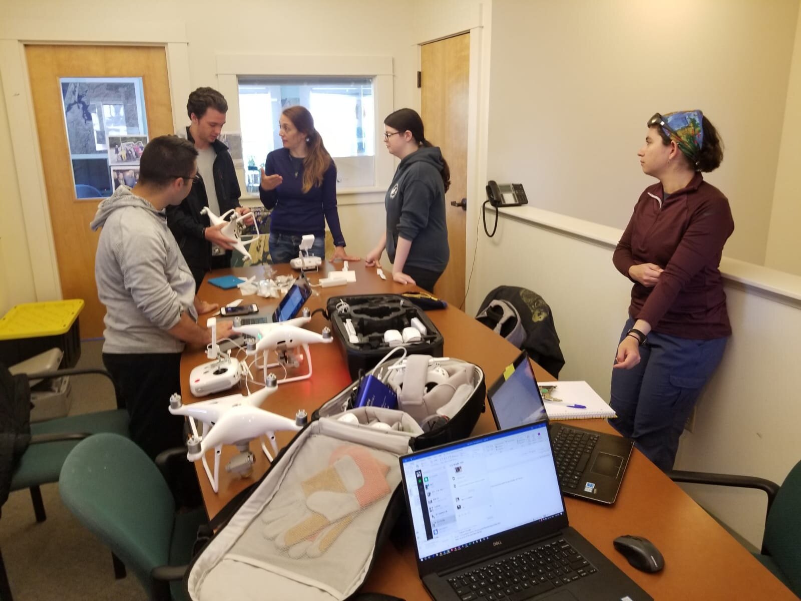
(2/1) Geofly Lab has two funded Master’s Research Assistant (RA) positions available. [link]
(1/24) SVR and HIZ mapping project got funded by NSF IUCRC WildfireIAB meeting 2024 [link]
2023
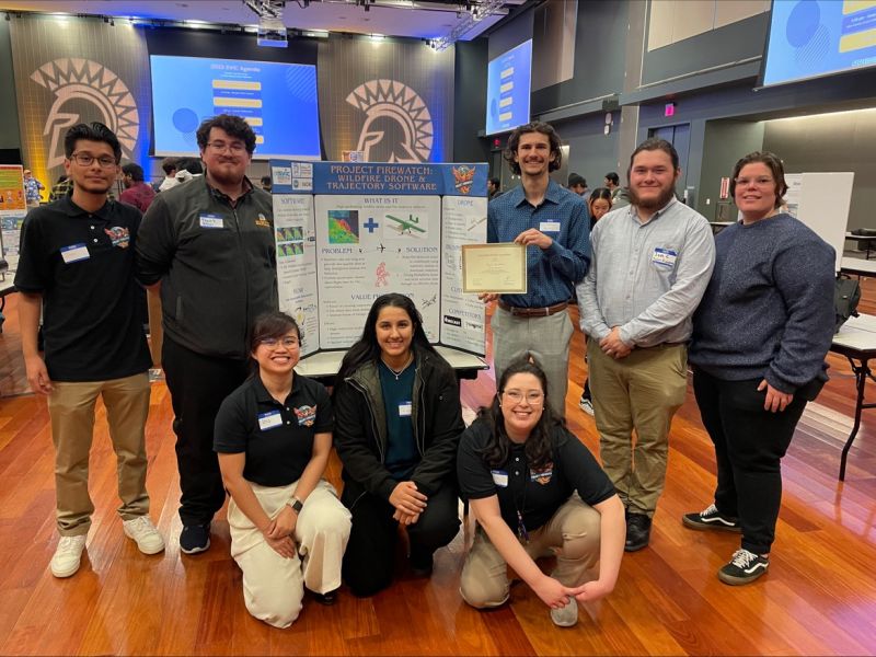
(11/29) FireWatch team in Software engineering and aerospace engineering win 2nd place out of 147 teams in Silicon Valley Innovation Competition [link]
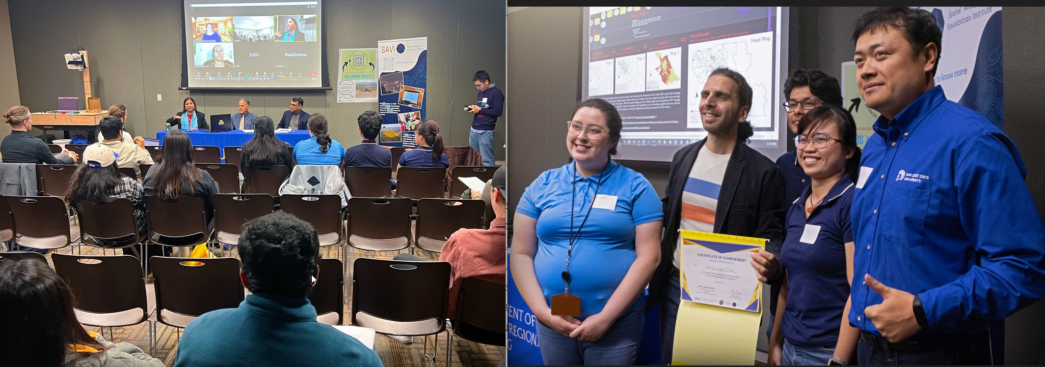
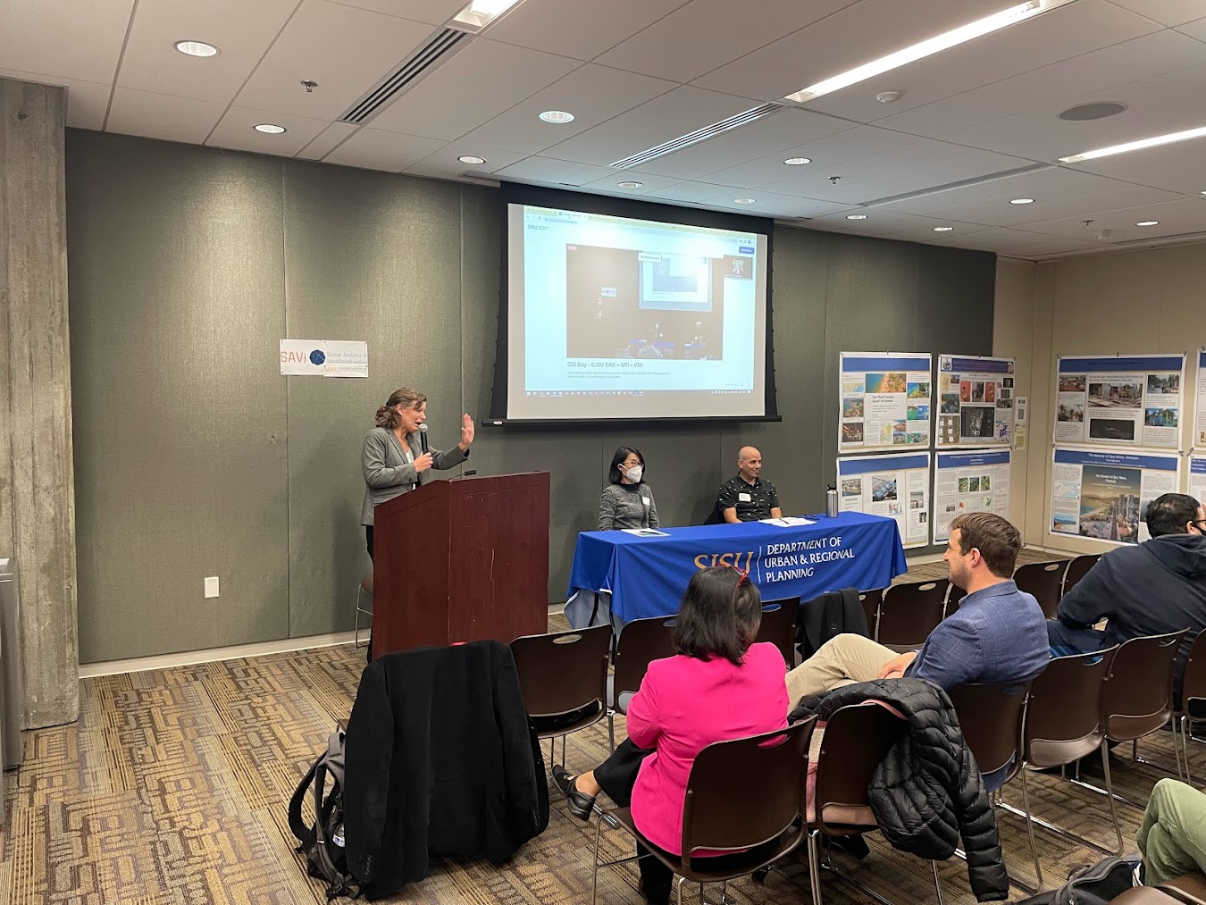
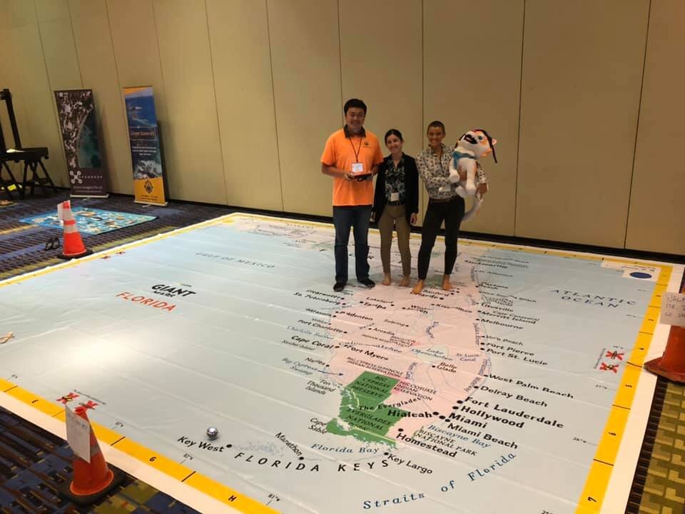
(11/16) SJSU GIS day success with Panel, poster competition, and technology showcase [link]
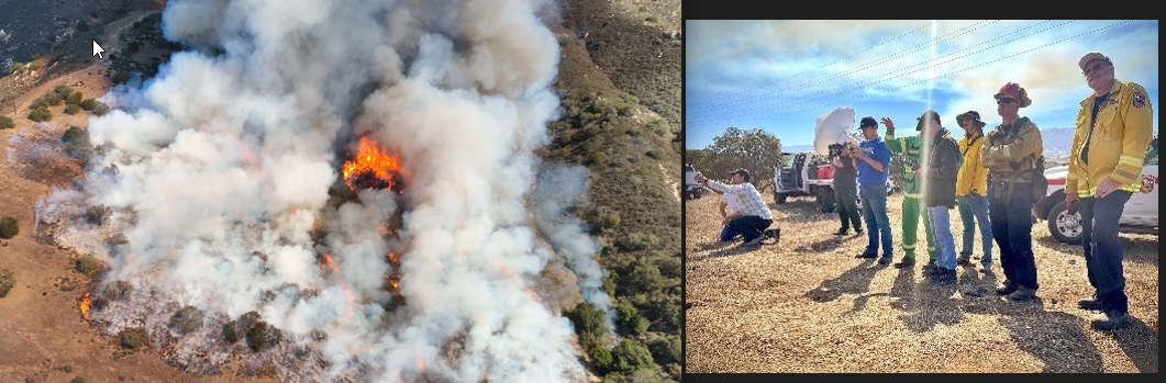
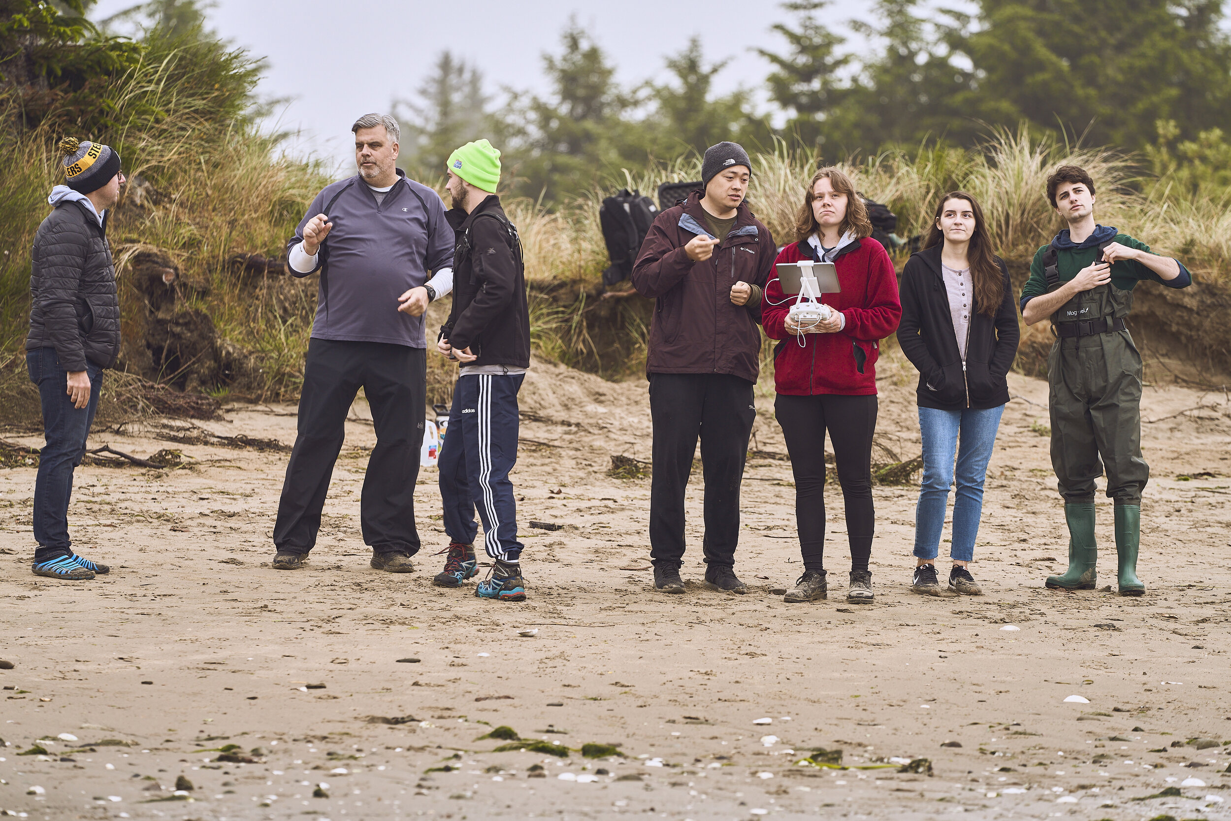
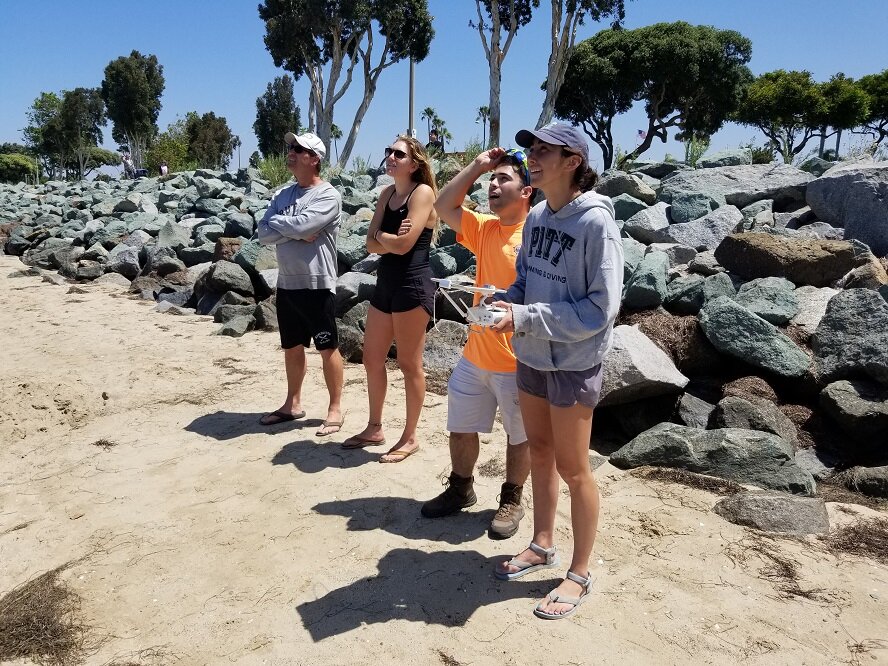
(11/10) Drone mapping prescribed fire in Wilder Ranch State Park with student team [link]
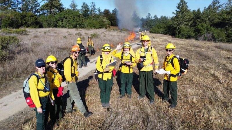
(11/9) Drone mapping prescribed fire with Wilkin Fire Ecology Lab and Geofly Lab [link]
(11/6) SJSU Geofly Lab present at VTA GIS Day [link]
(11/3) URBP and GIS Drone Society come to the SJSU Graduate Fair [link]
(10/01) Geofly Lab has been highlighted on Washington Square Magazine. [link]
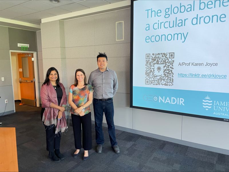
(9/22) Dr. Karen Joyce with GeoNadir give a SAVI talk at SJSU [link]
(9/15) Professor Bo Yang presented ongoing drone and remote sensing projects at SJSU College of Science MetCS seminar. [link]
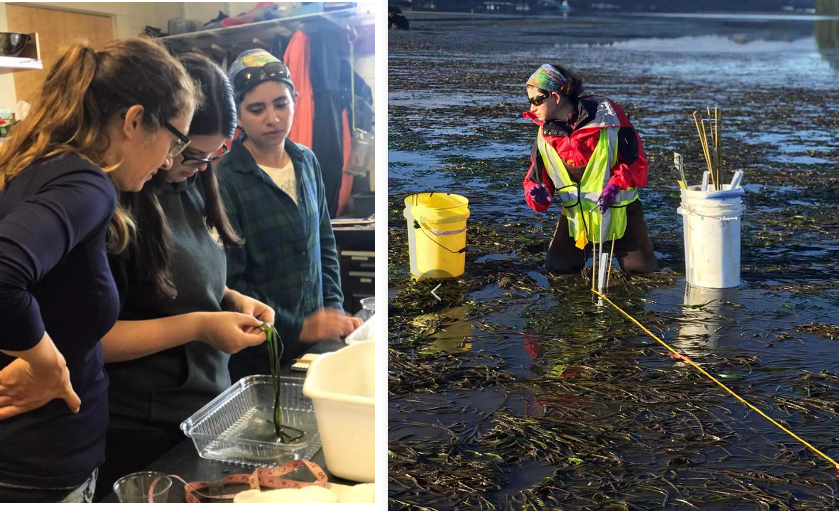
(08/16) GeoFly Lab has been awarded the NSF B2 program to use UAVs and GIS for seagrass mapping with UC Davis [link]
(05/01) MTI report published on using Thermal Remote Sensing to Quantify Impact of Traffic on Urban Heat Islands during COVID, reporting UHI varies during lockdown for SF BayArea [link]
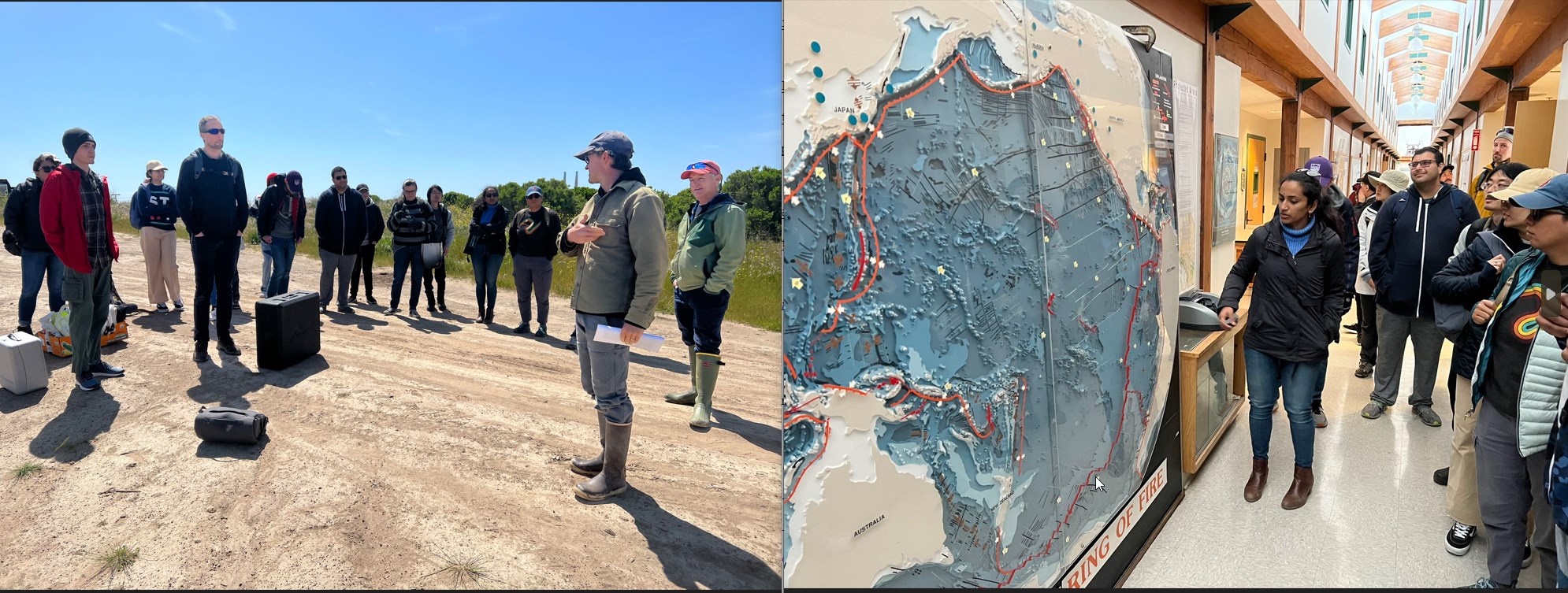
(04/19) The SJSU Drone class (GEOG282/173) had a mapping field trip to Moss Landing Marine Lab, experiencing research fieldwork in Elkhorn Slough [video]
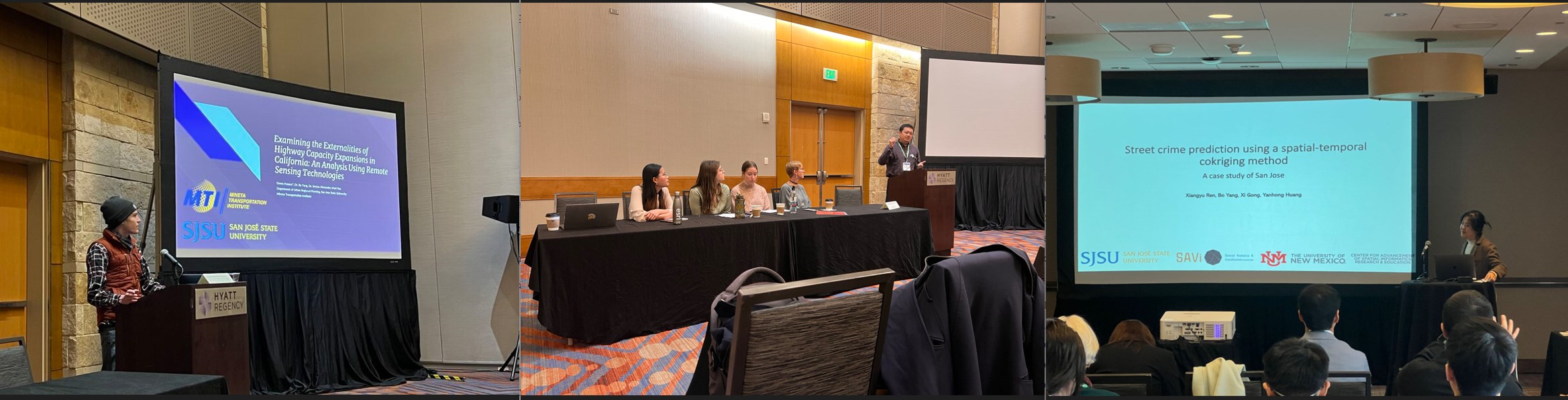
(03/24) GeoFly Lab members presented at AAG 2024 in Denver, focusing on urban heat island remote sensing, urban transportation, and urban crime prediction [link]
(03/15) Presentation at CalGIS2023 on UAV/Drone Remote Sensing for California Wildfire Mapping and Modeling [link]
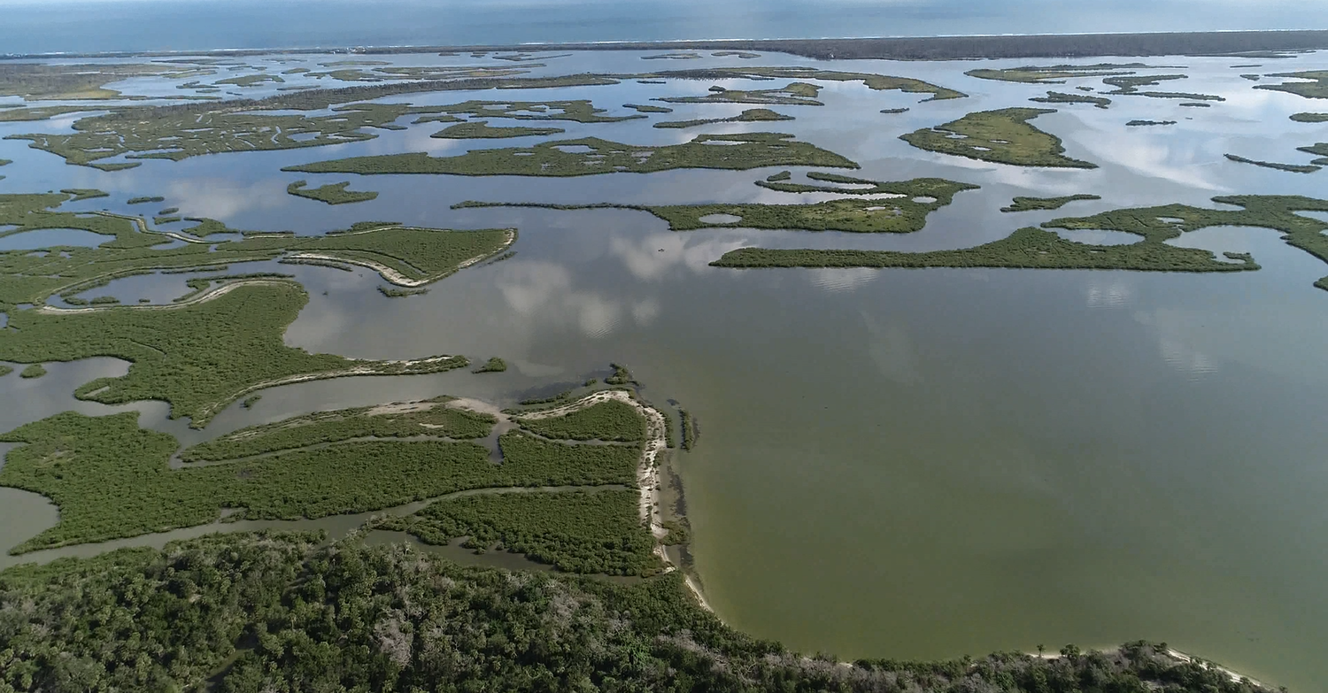
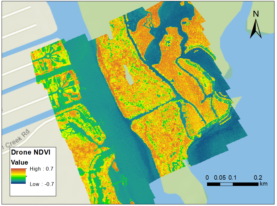
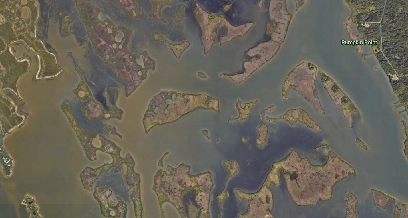
(02/28) Open-access paper published in GRL: Utilizing low-altitude UAV imaging combined with remote sensing image processing to detect and quantify Eelgrass WastingDisease from Alaska to California [link]
(01/23) New paper published in Oceanography about how high-resolution drone mapping captured the significant seagrass decline in the San Juan Islands [link]
2022
(11/16) 2022 SJSU GIS Day celebration featuring keynote speakers and a student poster competition [video]
(10/25) The drone team joined the SJSU Wildfire Interdisciplinary Research Center for the Canyon Fire experiment [link]
(10/11) The SJSU GIS and Drone Society has been invited to bring members to the Drone Racing League’s opening season at PayPal Park[link]
(10/05) The SAVi Workshop 2022 has launched, offering drone mapping and GIS courses, free for SJSU students [link]
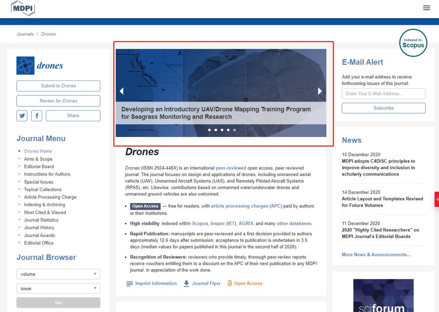
(09/28) The drone mapping training program for seagrass research has been rated as the Top Viewed paper in the Journal of Drones [link]
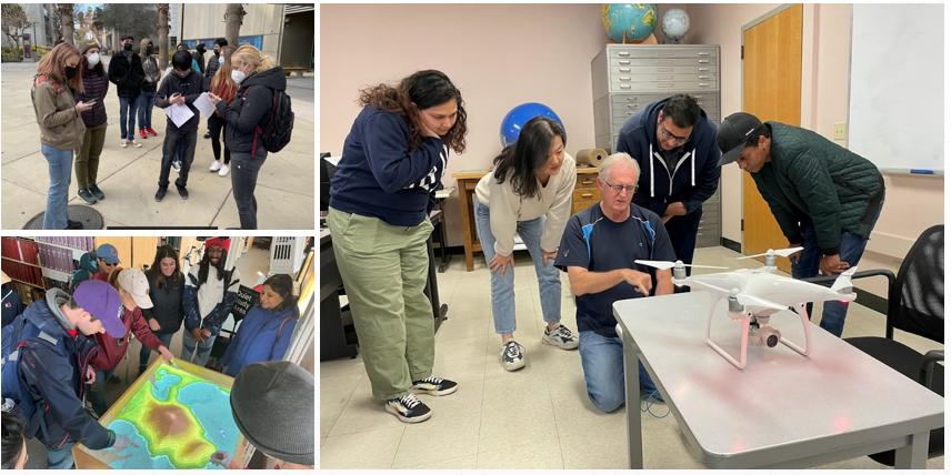
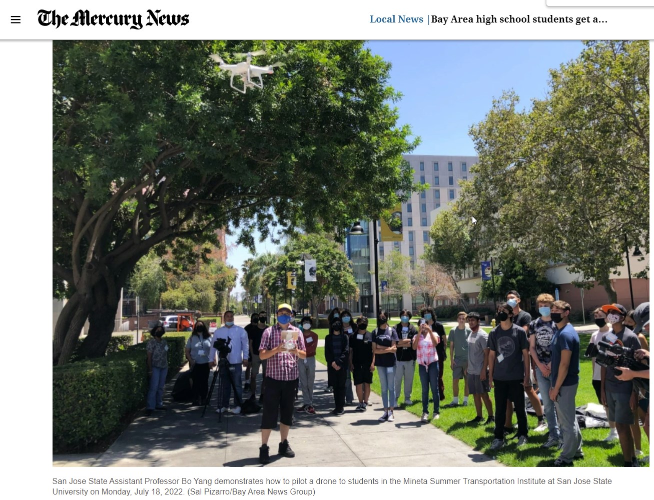
(07/19) Dr. Bo Yang led the SJSU MSTI K-12 summer camp drone and GIS session with Bay Area high school students [link]
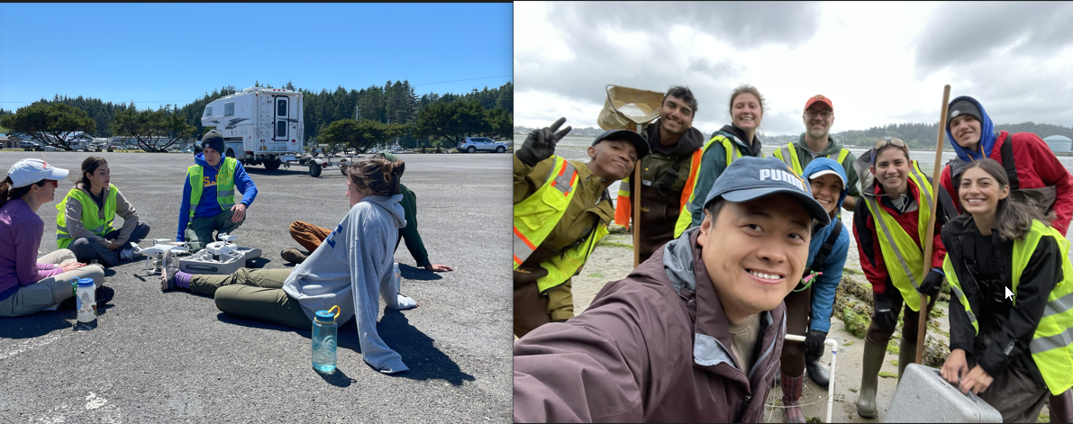
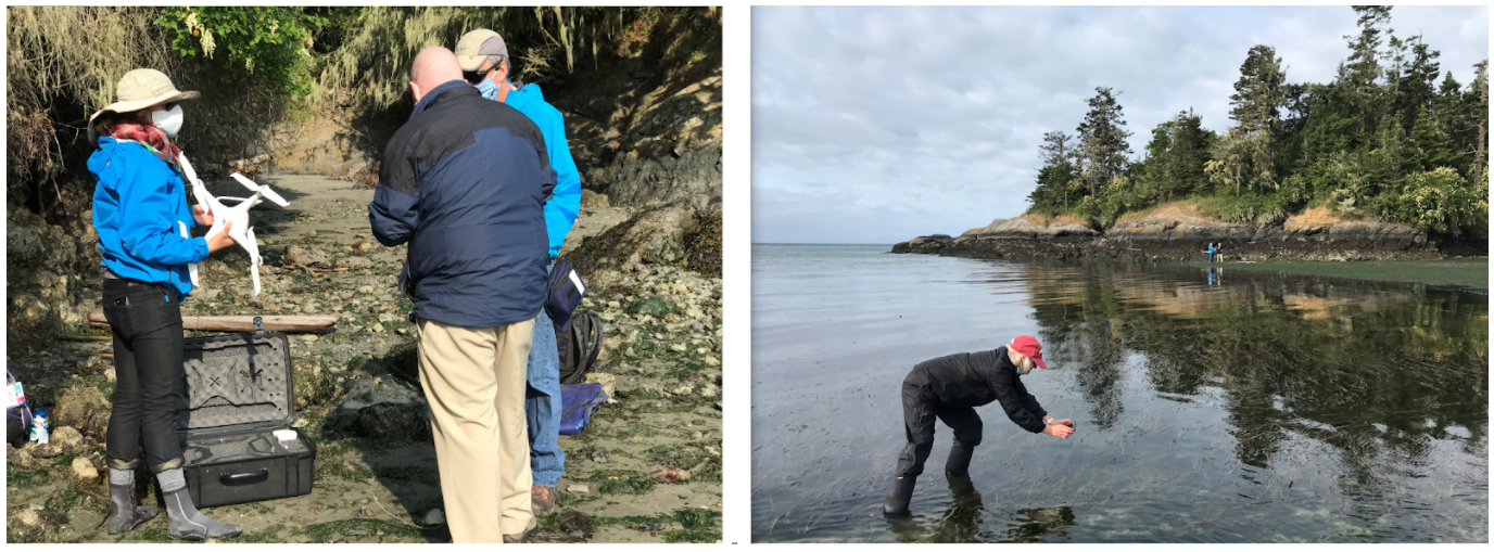
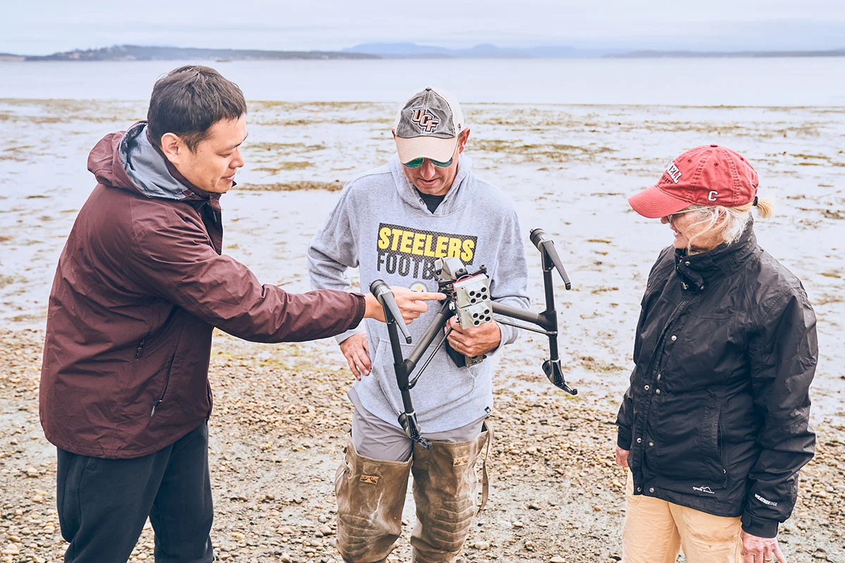
(07/16) 2022 Summer drone mapping fieldwork was successfully completed in San Juan Island, Coos/Yaquina Bay, and Bodega Bay by the SJSU team in collaboration with UC Davis, Cornell, and Oregon State [link]
(06/03) New paper published in ASLO_LO: Seagrass wasting disease outbreaks, from Alaska to California, were worse in areas experiencing unusually warm water temperatures [link]
(05/02) New paper published on using thermal RemoteSensing to isolate and quantify the transportation impact on urban heat effect, leveraging the Beijing 2008 Olympics traffic restrictions [link]
(03/28) Astronaut High School will visit SJSU to participate in the SAVi talk, featuring K-12 students’ lightning talks and Dr. Hawthorne’s keynote address [link]
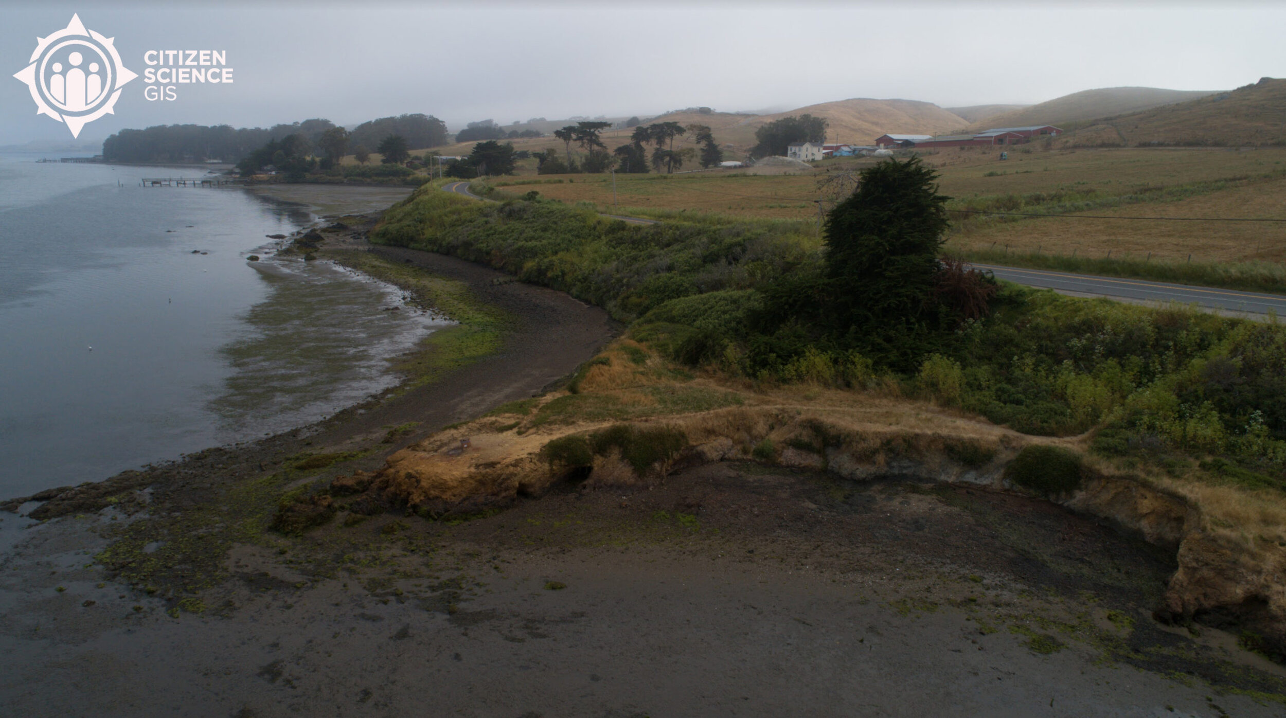
(03/15) The UCF Citizen Science GIS team is visiting SJSU and bringing K-12 students from Florida to conduct drone mapping fieldwork in Bodega Bay, CA [link]
2021
(11/30) New open-access paper published in “Applied Geography” on mapping emotional attachment for coastal restoration [link]
(11/03) NSF team published paper about remote sensing perspective for ecological and microbiome research [link]
(09/24) SJSU SAVI GIS Talk: urban and environmental research with using GIS, drones, and data science [link]
(08/18) The summer Drone/GIS fieldlwork has been highlighted on UCF research news [link]
(07/29) Presentation in California DroneCamp2021 “Using UAV high-resolution mapping, participatory training, and citizen science for coastal ecosystem monitoring and modeling” [link]
(07/04) Drone Team Completed Field Data Collection for NSF Smithsonian Eelgrass Research in Oregon [link]
(06/03) Dr. Yang joined Department of Urban & Regional Planning at San Jose State University [link]
(03/26) The drone education featured at 2021 ESRI Imagery and Remote Sensing Educators Summit [link]
(03/18) Presentation in Esri higher education web meeting “Teaching with Drones” [Link]
(02/28) Special issue on “Drones for Participatory and Community-Based Sciences” in journal Drones [Link]
(01/25) Paper on developing a UAV mapping and training program highlighted as the cover story in journal Drones [Link]
2020
(12/24) New paper about Spatio-temporal Cokriging algorithm published in Remote Sensing of Environment [Link]
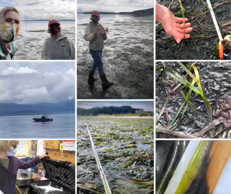
(11/03) New paper published about drone training program for seagrass along the west coast [Link]
(10/19) The west coast UAV mapping for seagrass/eelgrass featured on Cornell CALS news [Link]
(09/16) Summer NSF Pacific coast drone mapping completed safely during COVID-19 [Link]
(07/20) NSF drone mapping finds a change of eelgrass bed in spatial extent and patchiness [Link]
(07/07) Use remote drone mapping and paticipory research in response to COVID-19 [Link]
(04/22) New K12 Teacher Funding for Drones, GIS and Fieldwork from our NSF Grant [Link]
(03/21) Top 5 CSGIS Drone Shots [Link]
(03/13) New paper on IJGIS using geo-statistical method and nightlight remtoe sensing data to predict crime [Link]
2019
(11/18) Celebrate UCF GIS day: Maps, Apps & Drones Tour and GeoBus [Link]
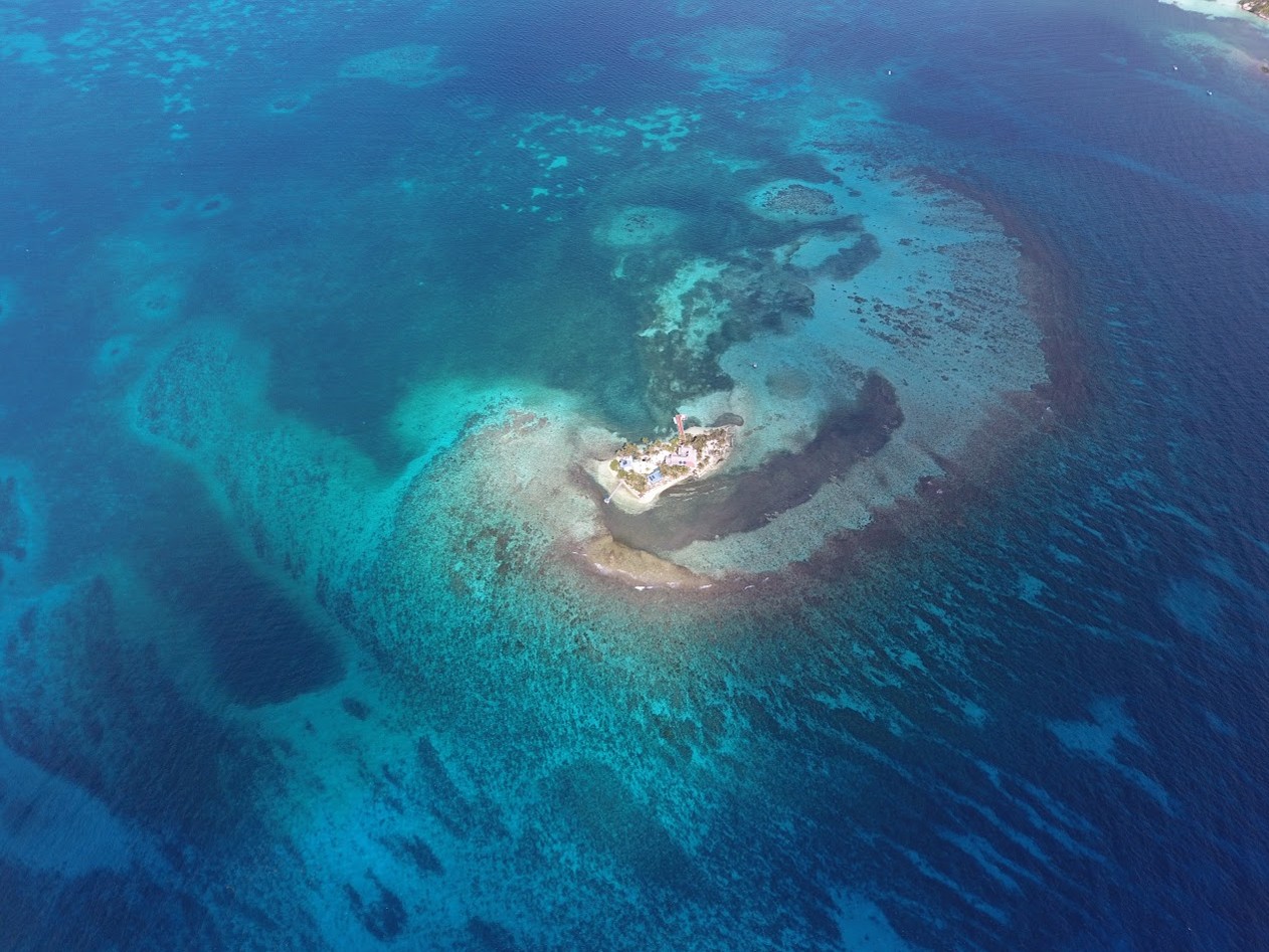
(11/08) Capturing the Beauty of Belize from Above with Smithsonian MarineGEO [Link]
(09/12) The Golden Rule, DroneCat and GeoBus at Central Florida GIS workshop [Link]
(09/12) Citizen Science GIS students present in Central Florida GIS Workshop and win student competition [Link]
(08/07) UAV fieldwork Completes in Alaska: “The Last Frontier” [Link]
(07/27) New paper about UAV-based object-oriented classification for Coastal Management in central Florida [Link]
(07/25) UAV fieldwork finished in Southern California with SDSU and Smithsonian MarineGEO [Link]
(07/16) UAV fieldwork in Bodega Bay finished with UC Davis Team [Link]
(07/01) UAV fieldwork in Oregon finished [Link]
(06/12) UAV fieldwork completed with Cornell team at Friday Harbor Lab, WA [Link]
(06/01) New paper using geo-statistical method for sharpening and forecasting the landuse change [Link]
(04/09) AAG presentation: geo-statistical approach to blend UAV imagery with satellite data [Link]
(04/05) Presentation at at UCF Research Week kick-off event: multi-spectral UAV mapping for Indian River Lagoon [Link]
(03/30) AAG Presentations with Citizen Science GIS [Link]
(03/29) How to create Region of Interest (ROI) in Google Earth Desktop using KML file [Link]
(03/11) Multi-spectral drone mapping fieldwork in Indian River Lagoon [Link]
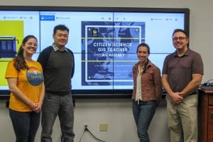
(02/05) Citizen Science GIS K12 Teacher Academy Success [Link]
2018
(11/28) A Bird’s-Eye View of the Indian River Lagoon [Link]
(10/05) Bo Yang joined Citizen Science GIS team at UCF [Link]