Drones for Education
Open Access Drone Course
Open-access drone mapping training course to teach research partners and broader communities how to collect remote sensing data. This training course covers various topics such as flying drones, mapping principles, safety guidelines, preflight planning, FAA Part 107 examination, drone image stitching software, geographical fieldwork principles, and GIS-based drone image analysis.
Drone with MSTI K12 summercamp
Drone and GIS technologies are utilized for K12 education in the Mineta Summer Transportation Institute (MSTI). The MSTI offers students the opportunity to earn three transferable college credits in environmental studies from SJSU upon completion of all course requirements and a final exam. As part of the program, Dr. Bo Yang instructs local high school students on drones and aerial mapping.
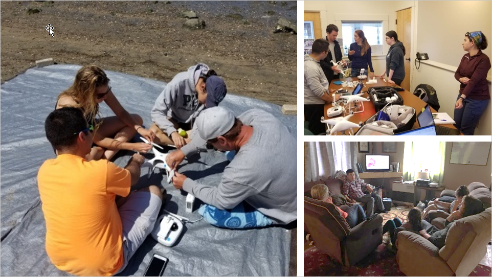
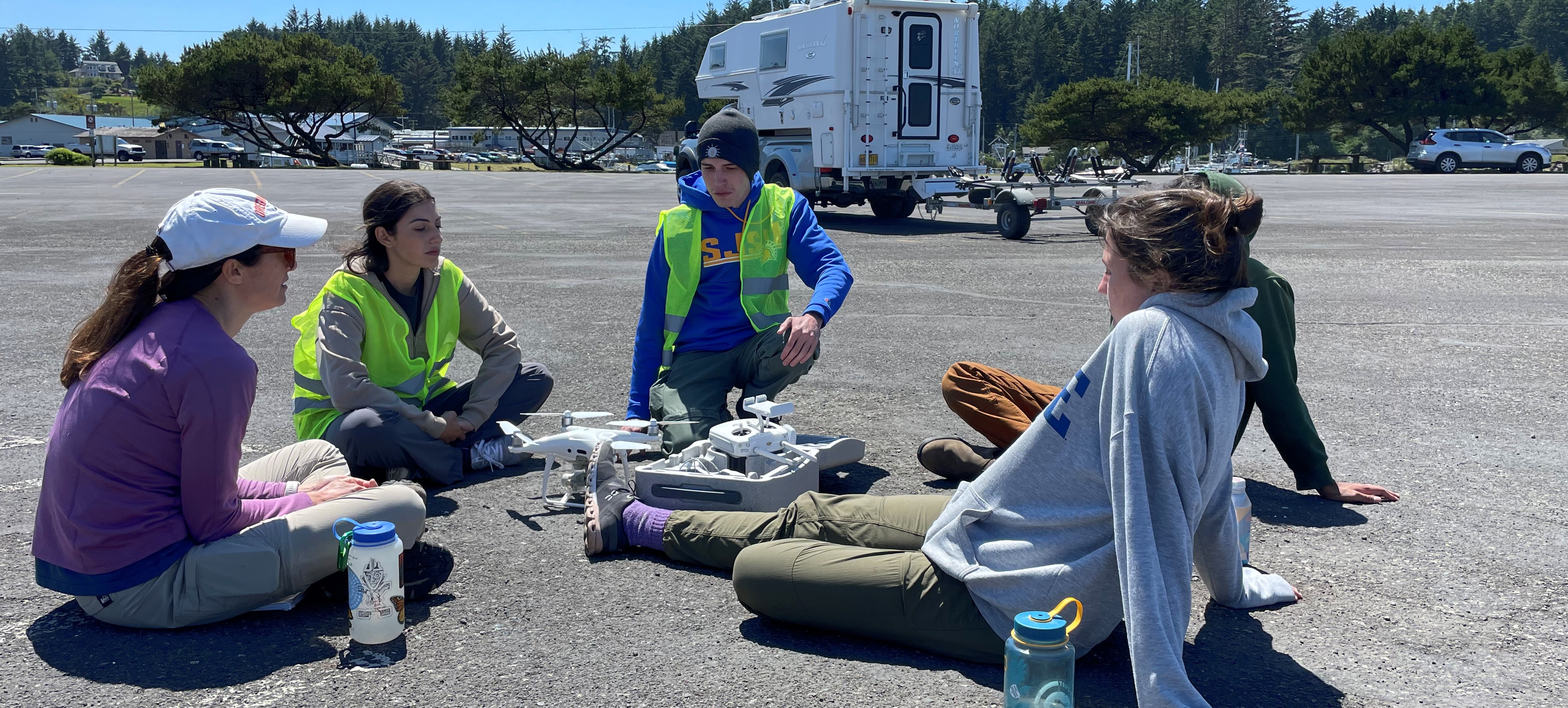
SAVi Drone workshops
SAVI’s drone workshop covers several aspects, including assessing participants and providing training in drone operations, preparing, planning, and realizing flights, discussing airspace regulations, processing and analyzing imagery, and managing data. Trainees are assigned self-study tutorials to promote continued learning for drone mapping. The training program consists of five sections that are implemented in the field and a post-training self-study guide to prepare participants for the FAA Part 107 examination. (Free for SJSU students)
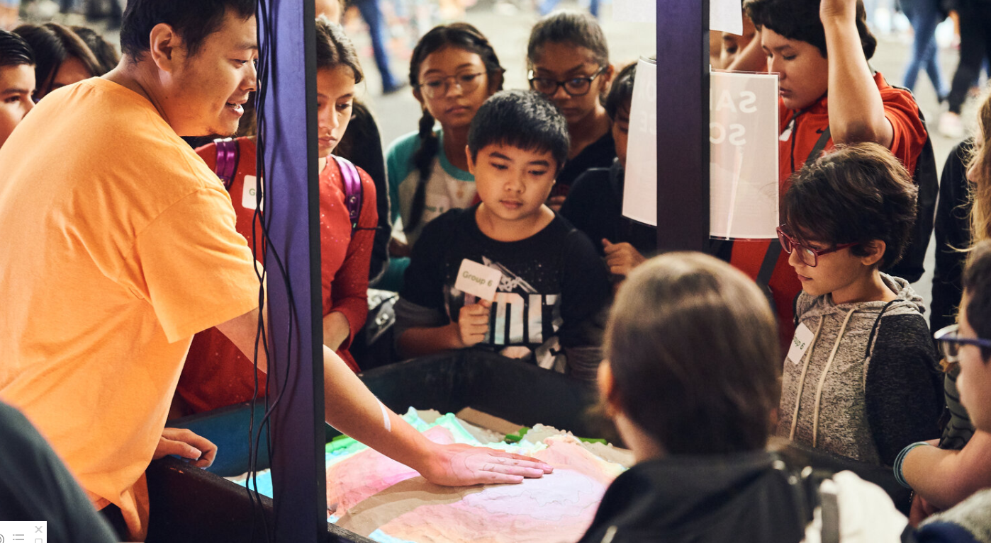
NSF Research experience for K12 teachers
mutually rewarding partnerships with K-12 science teachers, transferring their experience in cutting-edge research to classroom content with broader impacts. I collaborate with teachers during fieldwork activities and assist in developing science lessons that utilize fieldwork data and drone mapping principles to promote inquiry-based learning with students.
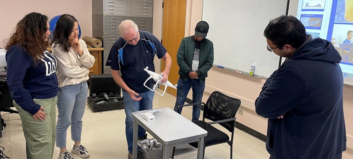
SJSU GIS and Drone society
The SJSU GIS and Drone Society (formerly the GIS Club) welcomes individuals from all majors. The society comprises people with a shared interest in staying abreast of the latest developments in geography, from gaining a deeper understanding of GIS to exploring the potential of drones. Throughout the semester, we organize various activities, including touring San Jose as a group, participating in study sessions to support each other, and engaging in fun activities.