GeoFly lab facilities and instruments
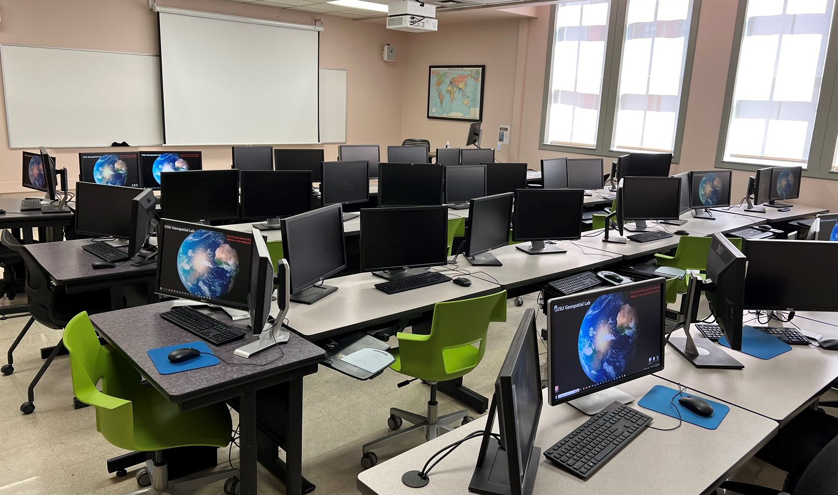
SJSU Geo-spatial lab
The SJSU Geo-Spatial Lab is a state-of-the-art facility providing advanced geospatial technology tools for students and researchers. It’s equipped with 30 high-performance computers featuring SSD storage, large memory, high-end video cards with CUDA, and dual-monitoring screens. The lab includes a seminar room, student lounge, and high-resolution projectors. Future additions include an augmented reality map sandbox, geo-visualization wall, and map galleries. It offers comprehensive software like ArcGIS Pro, Esri Drone2Map, ERDAS, ENVI, QGIS, Google Earth Engine, MS Office Suite, and statistical analysis tools.
Discover cutting-edge UAVs/drones, sophisticated sensors, and precision field instruments at our Geo-Spatial Lab for unparalleled research and educational experiences.
Inspire 2
Multispectral drone platform with intelligent flight features. 27 minutes flight time
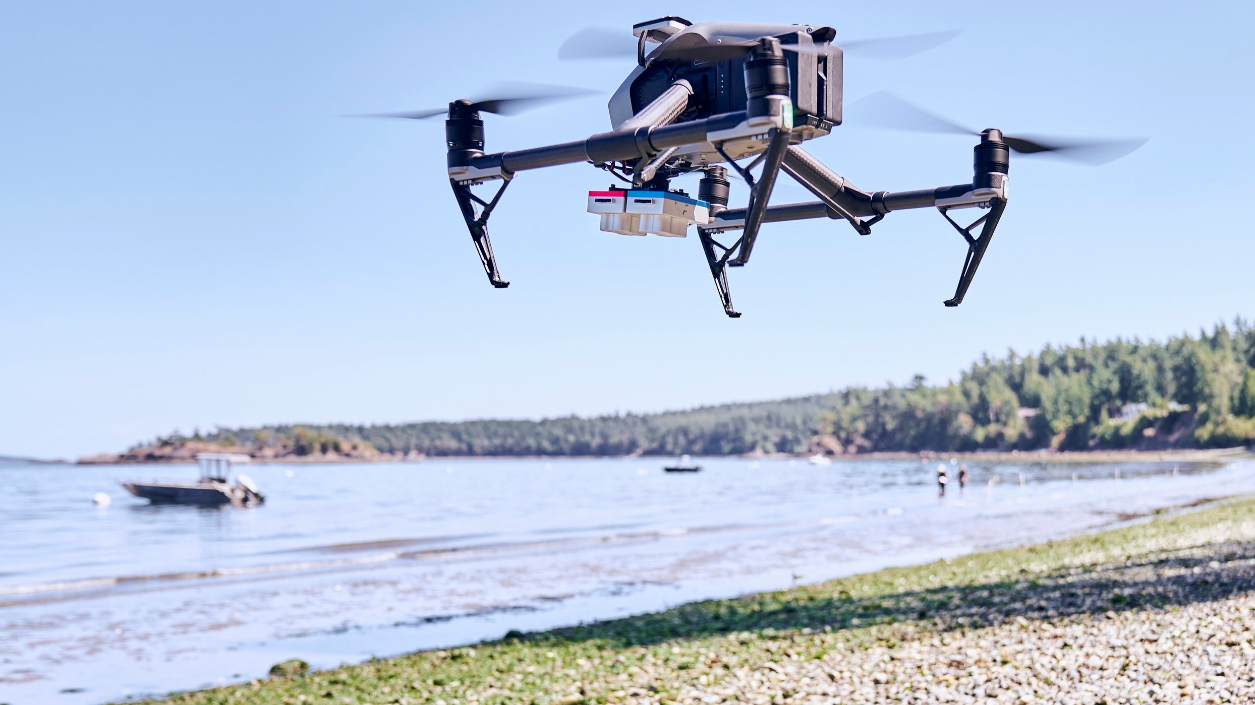
Matrice 200
Versatile and rugged thermal drone platform supports multiple payload configurations. 38 minutes flight time
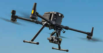
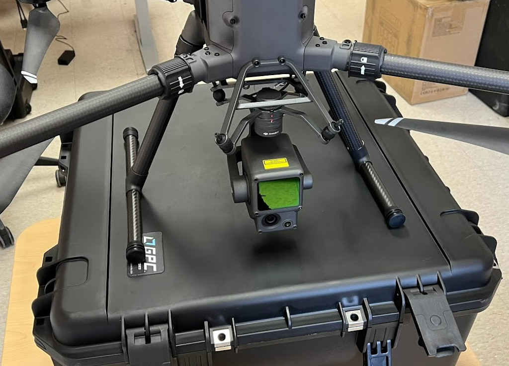
Matrice 300 RTK
state-of-the-art industrial drone solution with LiDAR/RGB aerial mapping capabilities. 55-minute maximum flight time
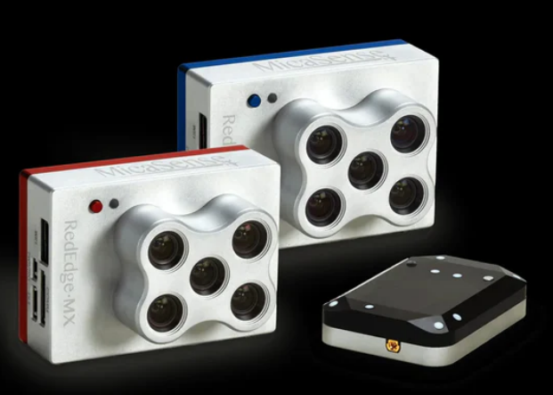
Micasense 10band Dual Sensor
This advanced sensor system combines two powerful 5-band sensors, capturing high-resolution imagery across ten spectral bands, including visible light, near-infrared, and red edge.
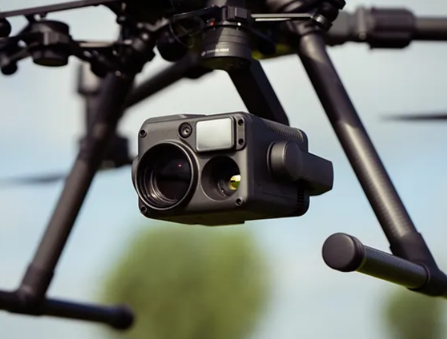
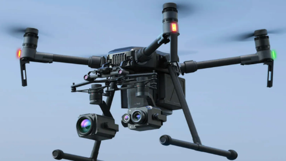
Zenmuse H20T Thermal Sensor
Thermal sensor provides precise temperature measurements to identify heat signatures and monitor infrastructure efficiently.
Zenmuse L1 LiDAR Sensor
Advanced Livox LiDAR technology captures up to 240,000 points per second, enabling the generation of accurate, high-density point clouds for forestry and infrastructure inspection
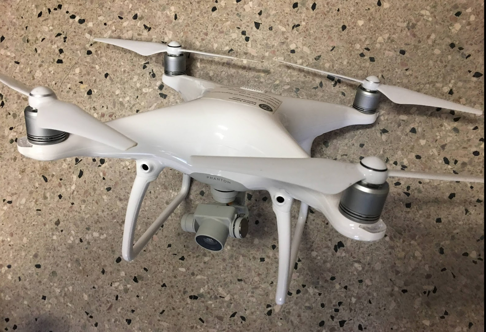
DJI phantom IV Pro
Aerial photography and videography drone designed to capture stunning images and breathtaking footage
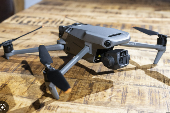
DJI Mavic 3
Dual-camera foldable drones that takes aerial photography and videography to new heights
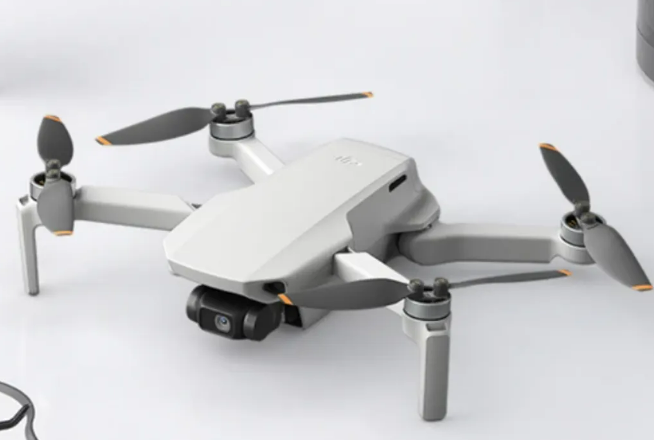
DJI MINI SE
Weighing just 249 grams a perfect entry point for beginners and educationnal use alike.
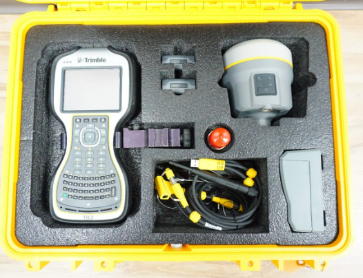
Trimble GNSS
high-performance and compact GNSS receiver for high-quality, location-based data collection and management
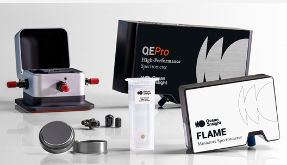
Field Spectroradiometer
High-performance instrument captures precise spectral data across a wide wavelength range
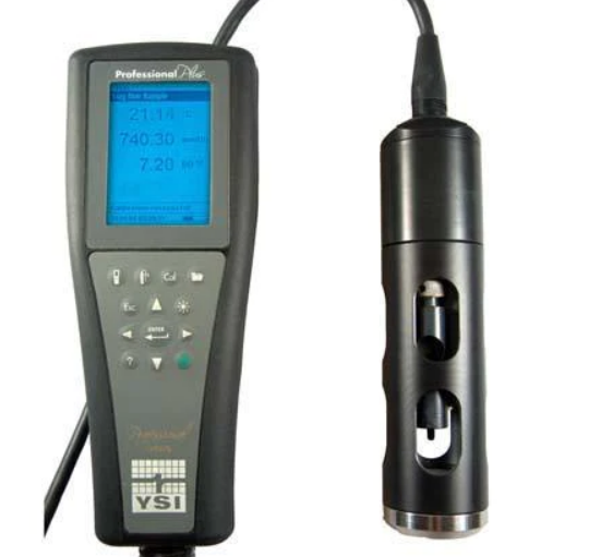
YSI water sonde
This advanced multi-parameter instrument measures key water quality parameters such as temperature, conductivity, dissolved oxygen, pH, turbidity, and more