GeoFly Lab is an academic mapping lab in cutting-edge drone technologies and Geographic Information Systems (GIS) at San José State University (SJSU). We use multi-platform Uncrewed Aerial Vehicles (UAVs, or drones), GIS, remote sensing, machine learning, and AI to investigate urban and environmental sciences, including coastal mapping, wildfire modeling, urban data science. Our research are funded by National Science Foundation (NSF), NASA, USDOT/MTI, and CalFire.
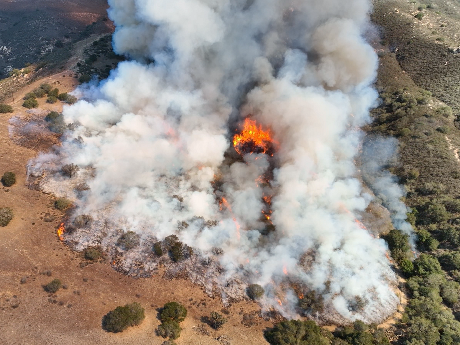
Wildfire Modeling
NASA funded FireSage Program with Wildfire Interdisciplinary Research Center (WIRC) using multi-platform remote sensing and drone mapping for California wildfire modeling

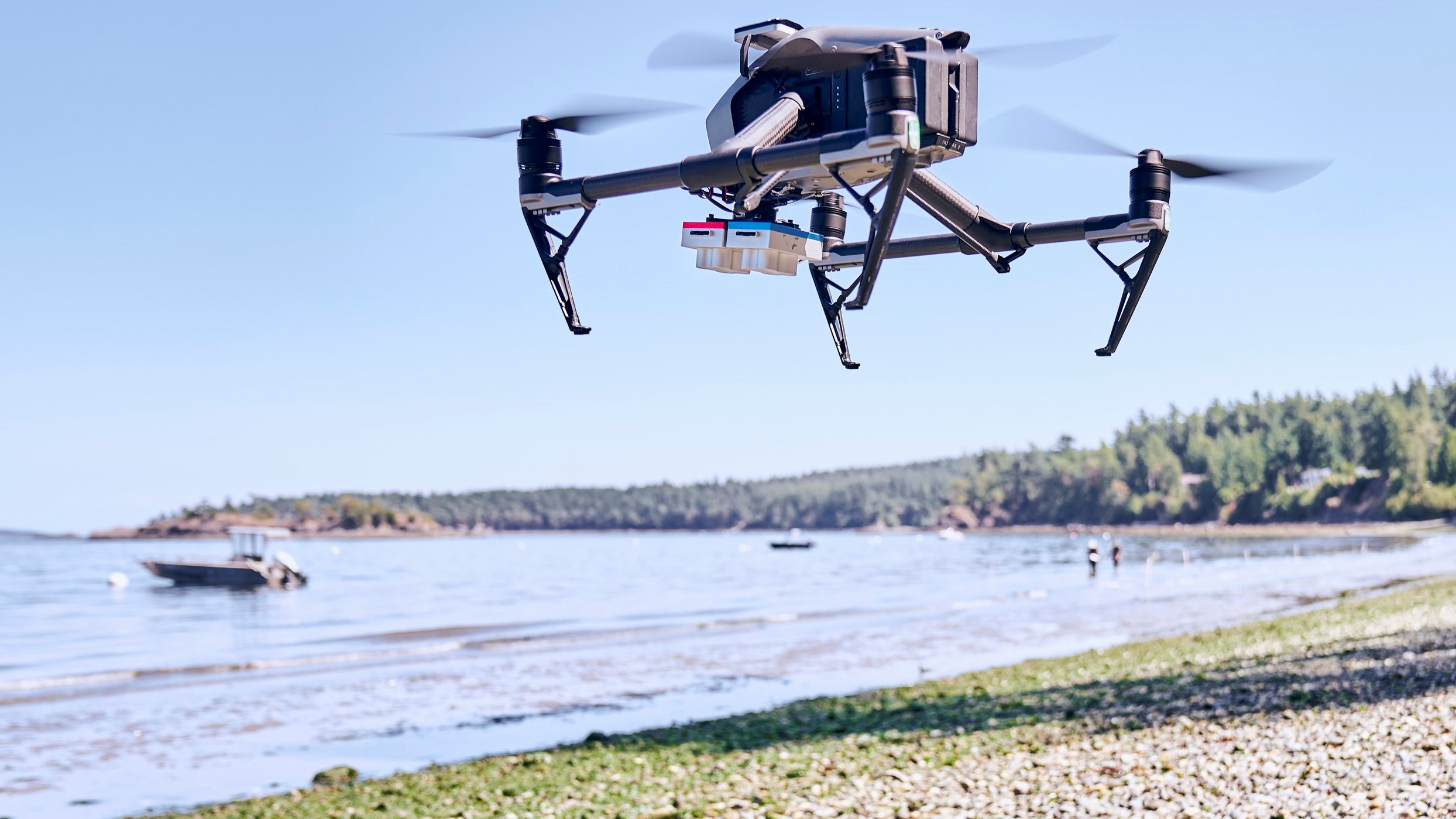
Coastal Seagrass Mapping
NSF B2 funded project using drones and GIS to map seagrass habitats along the California and US Pacific coast, assessing climate stressors and disease.
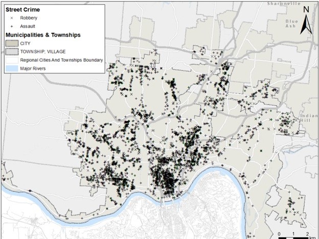
Urban Data Science
Machine learning and AI (ST-Cokriging) for urban heat, urban crime, and urban transportation with SJSU URBP and Spatial analytics and visualization Institute.
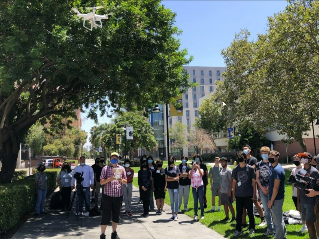
GIS and Drone for Education
GeoFlyLab integrates drones and GIS technology in K-12 and higher education, providing hands-on learning experiences. By utilizing these tools, students gain practical skills in geospatial analysis and remote sensing, enhancing their understanding of real-world applications in earth and environmental sciences.
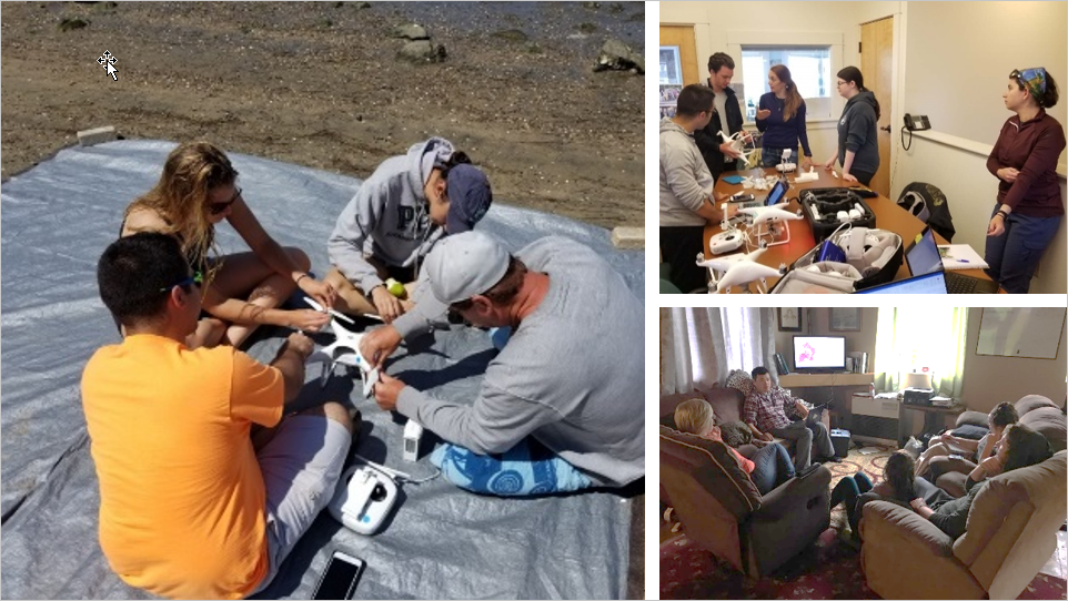
Open Access Drone Training Course
GeoFly Lab proudly offers a comprehensive, free drone training course on GitHub. This course covers autonomous mapping with Drone2Map/Pix4D, DJI Terra and GS Pro, ArcGIS series and Google Earth Engine, and includes an FAA Part 107 study guide. It’s designed to equip you with the skills needed for drone mapping and to empower you as a citizen scientist.
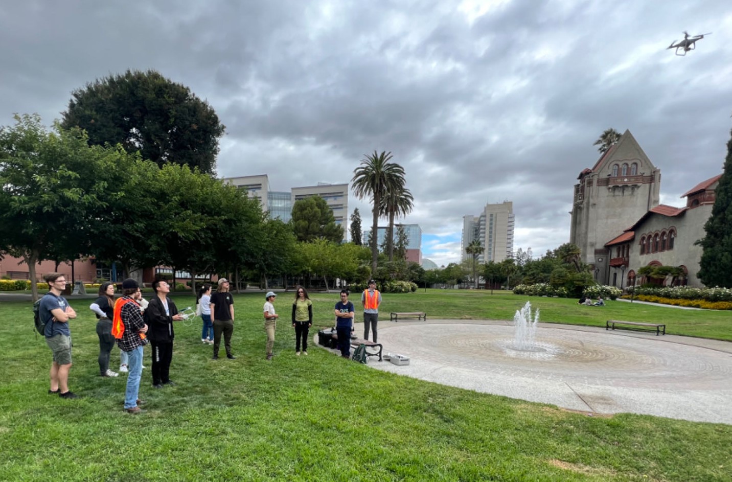
SJSU GIS and Drone Society
We welcome drone enthusiasts from the Bay Area to join the SJSU GIS and Drone Society, the first student club dedicated to the fields of GIS, remote sensing, drones, and machine learning. Follow us on Linkedin and Google Group for club regularly shares innovative breakthroughs, news, events, and highlights the dedication and achievements of our members.
Browse our all projects with GIS and Drone Mapping
Browse more drone mapping projects, including mapping of an African American village, the Florida coastal area, hydrology BMP management, and the Serpent Mound archaeological site.

Join the Geofly Lab
Prospective students if you’re passionate about GIS, Drones, and Remote Sensing for Earth Observation, Geofly Lab welcomes you! Join our dynamic team and delve into the world of geospatial science. Please express your interest by filling out this Google Form.
NSF Build and Broaden 2024 Summer Coastal Drone Fieldwork Application
The NSF Build and Broaden 2024 summer fieldwork application is now open! This unique program invites students to participate in a four-week coastal mapping f...
Geofly Lab has two funded Master’s Research Assistant (RA) positions available.
Geofly Lab has two funded Master’s Research Assistant (RA) positions available. Please check the pdf for more info below. 1) NASA FireSage funded 2-year Mas...
NSF Funds Innovations: Wildfire Research Projects Secure Industry Advisory Support
Exciting news! We are thrilled to announce that both of our Industry Advisory Board proposals to the Wildfire Interdisciplinary Research Center have successf...
Team FireWatch won 2nd Place in Silicon Valley Innovation Competition
The FireWatch Team from SJSU, blending expertise in Software and Aerospace Engineering, clinched 2nd place among 147 teams at the Silicon Valley Innovation C...