Teaching
Open-access drone mapping course
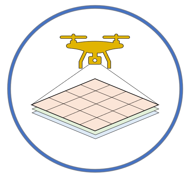 I maintain an open-access drone mapping training course, which designed to use drones to collect remote sensing data for coastal mapping and seagrass conservation. We create this training course for research partners and broader communities to learn how to fly drones, and perform data processing in Geographical Information Science (GIS) method. This training course contains topics of flying drones, coastal mapping principles, safety guides, preflight and planning, FAA part 107 examination, drone image stitching software, geographical fieldwork principles, and GIS based drone image analyses.
SJSU GEOG239: Geographic Information Technology
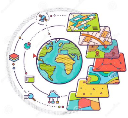 Geog239 Geographic Information Technology will introduce concepts, techniques, and applications of multiple GIS technologies. It combines lectures with a substantial practical lab component. The lectures cover spatial data analysis and visualization, ArcGIS and model builder, remote sensing and digital terrain analysis, Google Earth Engine, Python programming for GIS, and UAV/Drone mapping. The course has a prerequisite of Geog170 Intro GIS or Geog107 Mapping the world. A requisite waiver will be given if completed other level of GIS class.
SJSU GEOG107: Mapping the World
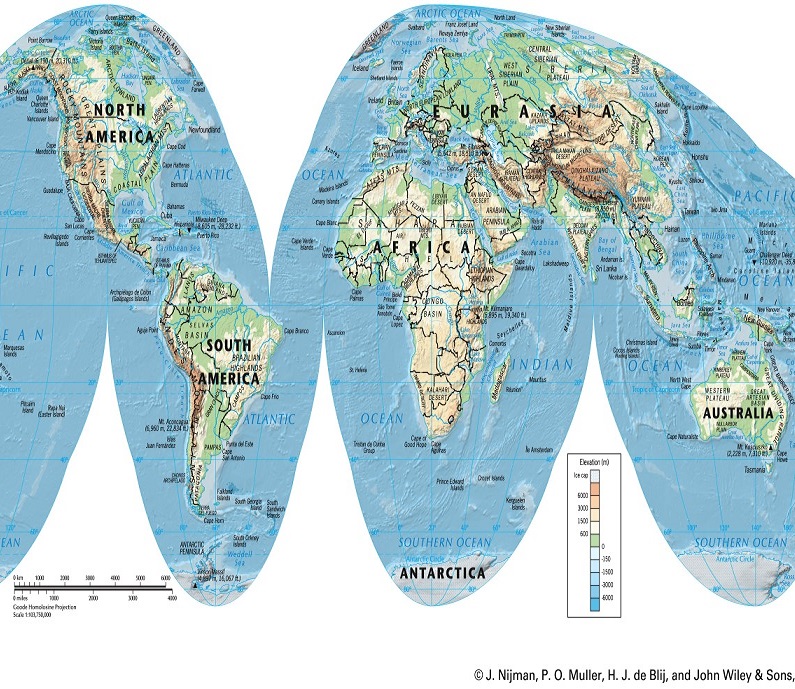 Scientific understanding of the physical systems and processes of Earth as explored through data and mapping, and an introduction to spatial analysis. Comprehensive survey of all the regions studied in geography: North and South America, Africa, Europe, Asia, Australia and the pacific. In this survey of diverse global environments students will create interactive web applications and story maps using online ArcGIS Online to visually communicate the interrelationships between humans and their environment.